After driving our car about 40 minutes or so (from the KOA), we turned down a small paved street. I turned to April and said “This is not right. There is no National Park entrance down this road…
We continued driving slowly when suddenly Siri (Apple Maps) said – “Your destination is on the right. You will need to walk to it.”

As I turned the car around and headed back out – April got Google Maps going and it led us to a big sign. After parking in the lot, the only walk was across the lot to the main building. Note to self – if the GPS appears to be wrong, it likely is!
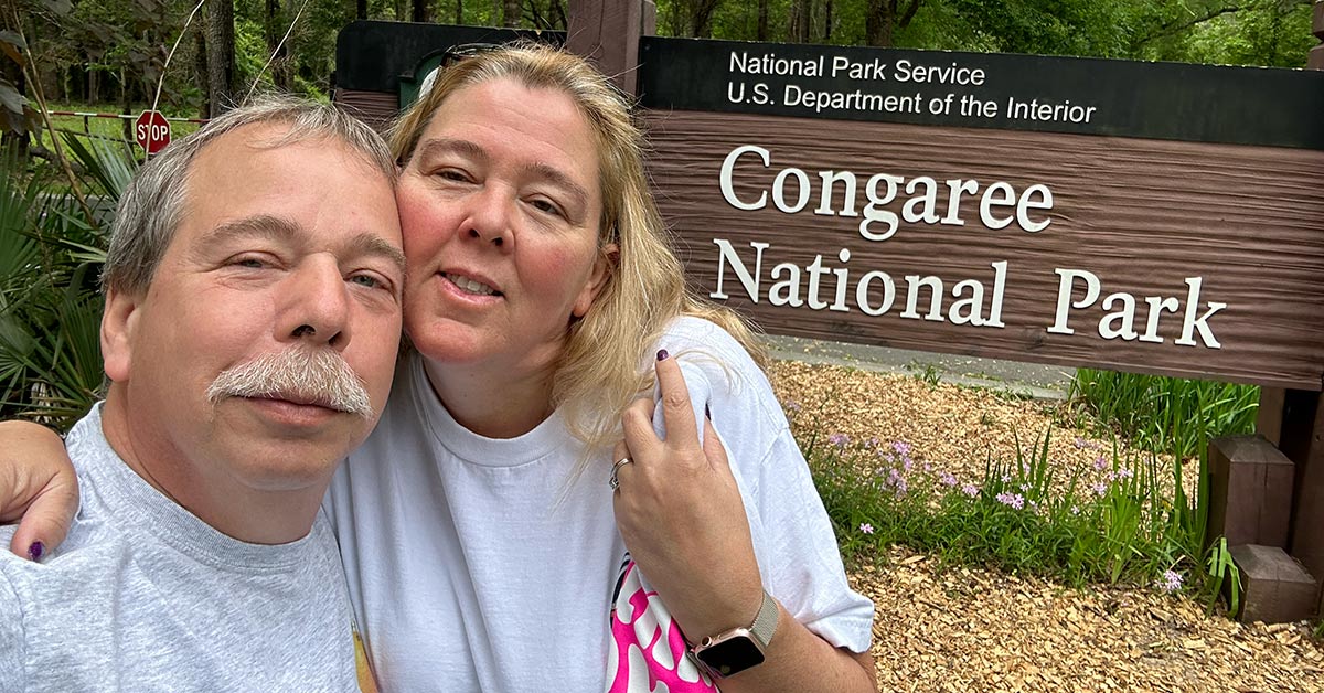
After arrival at Congaree National Park we checked out the main area and purchased the required sticker for the RV. Then, we headed out (stopping to pick up a self-guided tour brochure) on the easiest trail – a boardwalk thru the forest with a stop at a Weston Lake. Total distance was about 4 miles since we needed to turn around, and then do the other side of the loop due to flooding.